Build Your Dream
Mine Surveys & Photogrammetry Services
Civitech’s Mine Surveys & Photogrammetry services stand as a pioneering force in redefining the accuracy, efficiency, and safety standards within mining operations. Through the strategic utilization of advanced photogrammetric techniques, we set new benchmarks in conducting comprehensive surveys that generate highly precise spatial data, crucial for optimizing mining processes while prioritizing safety and compliance in every mining operation.
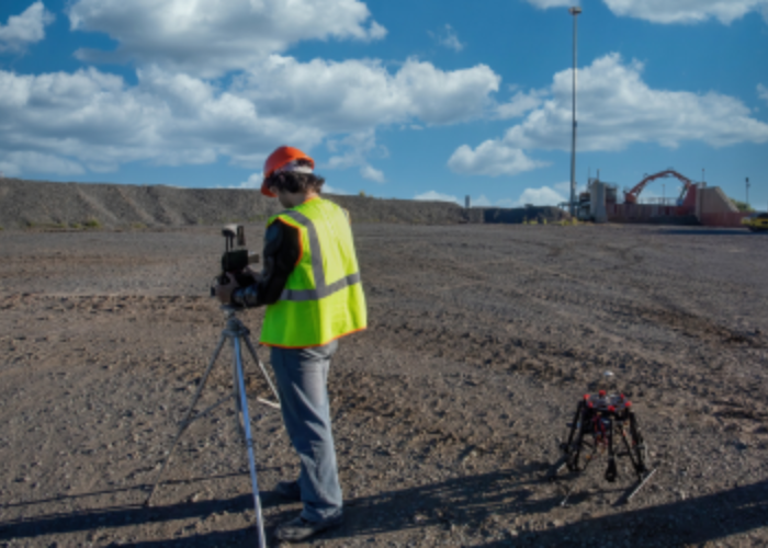
Understanding the multifaceted challenges within the mining industry, Civitech leverages cutting-edge photogrammetric technology to revolutionize traditional surveying methodologies. Our services encompass the utilization of drones, high-resolution cameras, LIDAR (Light Detection and Ranging), and specialized software to capture intricate and detailed imagery of mining sites. This aerial perspective enables us to create precise 3D models, maps, and digital terrain models (DTMs) of the mining area, providing an accurate representation of the terrain and structures.
The integration of photogrammetry enables us to derive highly accurate spatial data, including volumetric calculations, stockpile analysis, terrain modeling, and surface change detection. These critical insights are instrumental in optimizing mining operations by aiding in resource planning, extraction efficiency, and monitoring environmental impacts.
Civitech’s Mine Surveys & Photogrammetry services go beyond mere data collection. We specialize in providing actionable insights derived from the collected spatial data. Through advanced data processing and analysis, we generate detailed reports, visual representations, and digital maps that empower mining companies to make informed decisions regarding excavation plans, resource allocation, and compliance with regulatory standards.
Safety is a paramount concern in mining operations, and our services are designed to enhance safety protocols. Drones equipped with advanced sensors and cameras enable us to conduct inspections of mining sites without putting personnel at risk in hazardous areas or elevated terrains. These inspections aid in identifying potential safety hazards, assessing stability, and monitoring for any structural changes in real-time, contributing significantly to safety and risk mitigation efforts.
Moreover, compliance with environmental regulations and sustainability practices is a key focus in our Mine Surveys & Photogrammetry services. The precise spatial data collected through photogrammetry facilitates environmental impact assessments, rehabilitation planning, and compliance monitoring. This enables mining companies to ensure responsible extraction practices, minimize environmental degradation, and adhere to stringent regulatory requirements.
Civitech’s commitment to accuracy, efficiency, safety, and compliance is ingrained in every aspect of our Mine Surveys & Photogrammetry services. Our team comprises experts with extensive experience in mining surveying and photogrammetric techniques, ensuring that our services align with industry best practices and deliver actionable insights that drive efficiency and sustainability in mining operations.
In conclusion, Civitech’s Mine Surveys & Photogrammetry services represent a transformative approach in the mining industry, leveraging advanced photogrammetric techniques to provide highly accurate spatial data essential for optimizing operations, ensuring safety, and meeting regulatory compliance. Partner with Civitech to unlock the power of precision and efficiency in mining operations, enabling informed decision-making and sustainable practices for the long-term success of mining ventures.